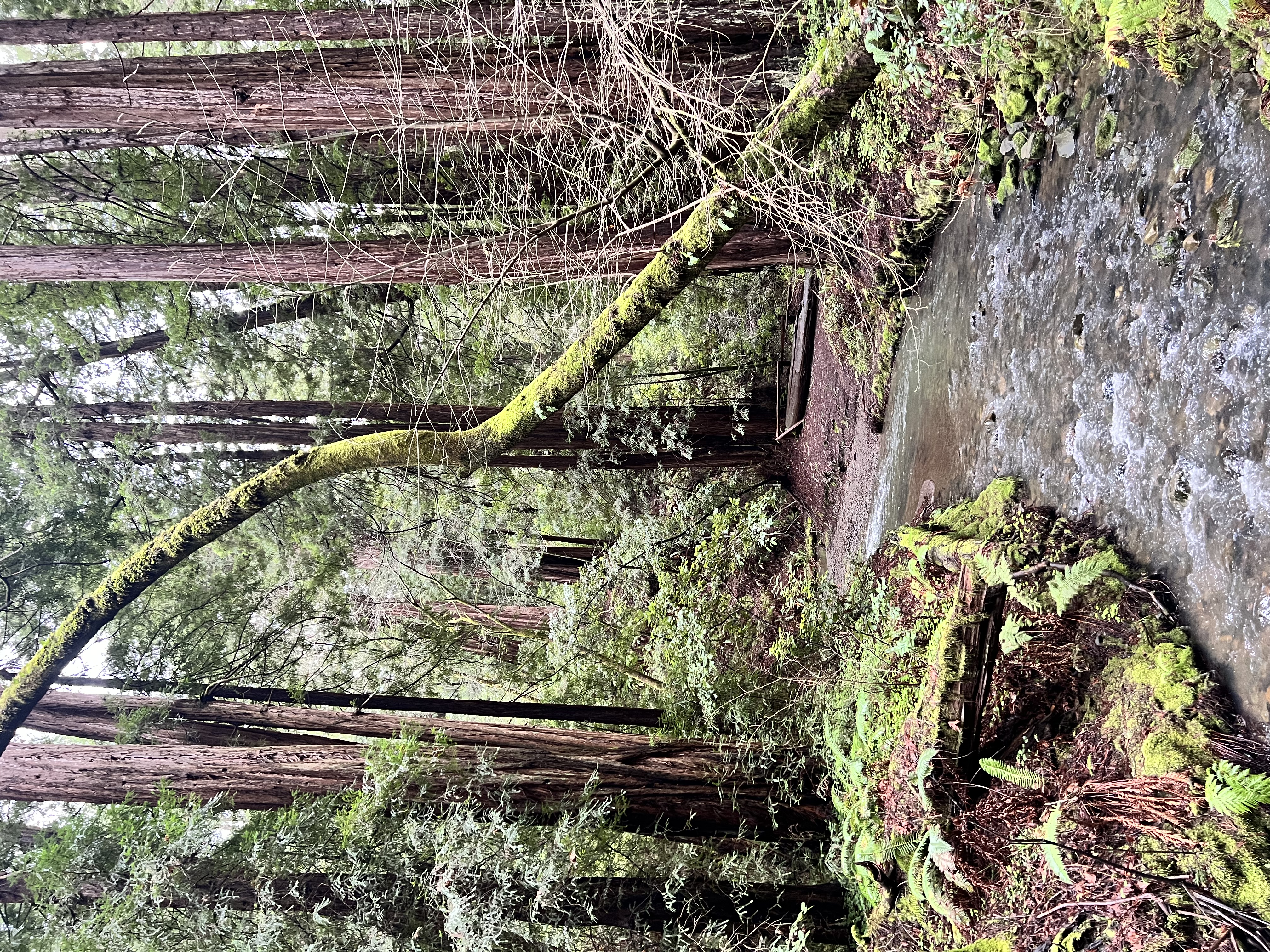
Elevating Perspectives
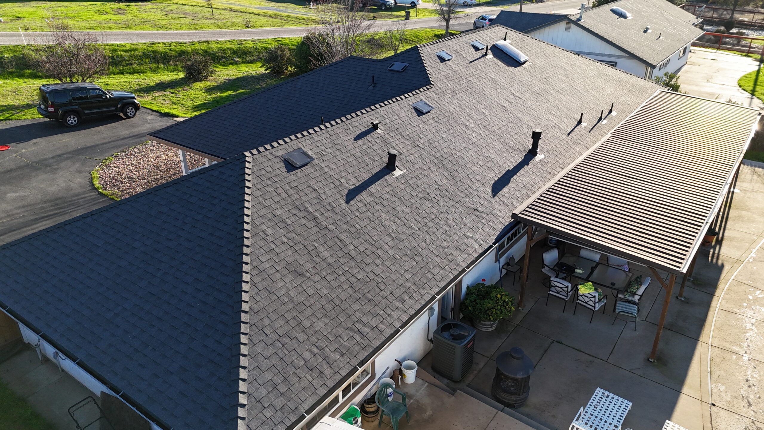
Aerial Photography Package
- Stunning high-resolution images capturing every detail.
- Detailed mapping and surveying for accurate measurements.
- Customized imaging solutions tailored to your specific needs.
- Capturing breathtaking aerial views from unique perspectives.
- Providing valuable insights for informed decision-making.
- Enhancing marketing materials with compelling visuals.
- Utilizing cutting-edge technology for superior image quality.
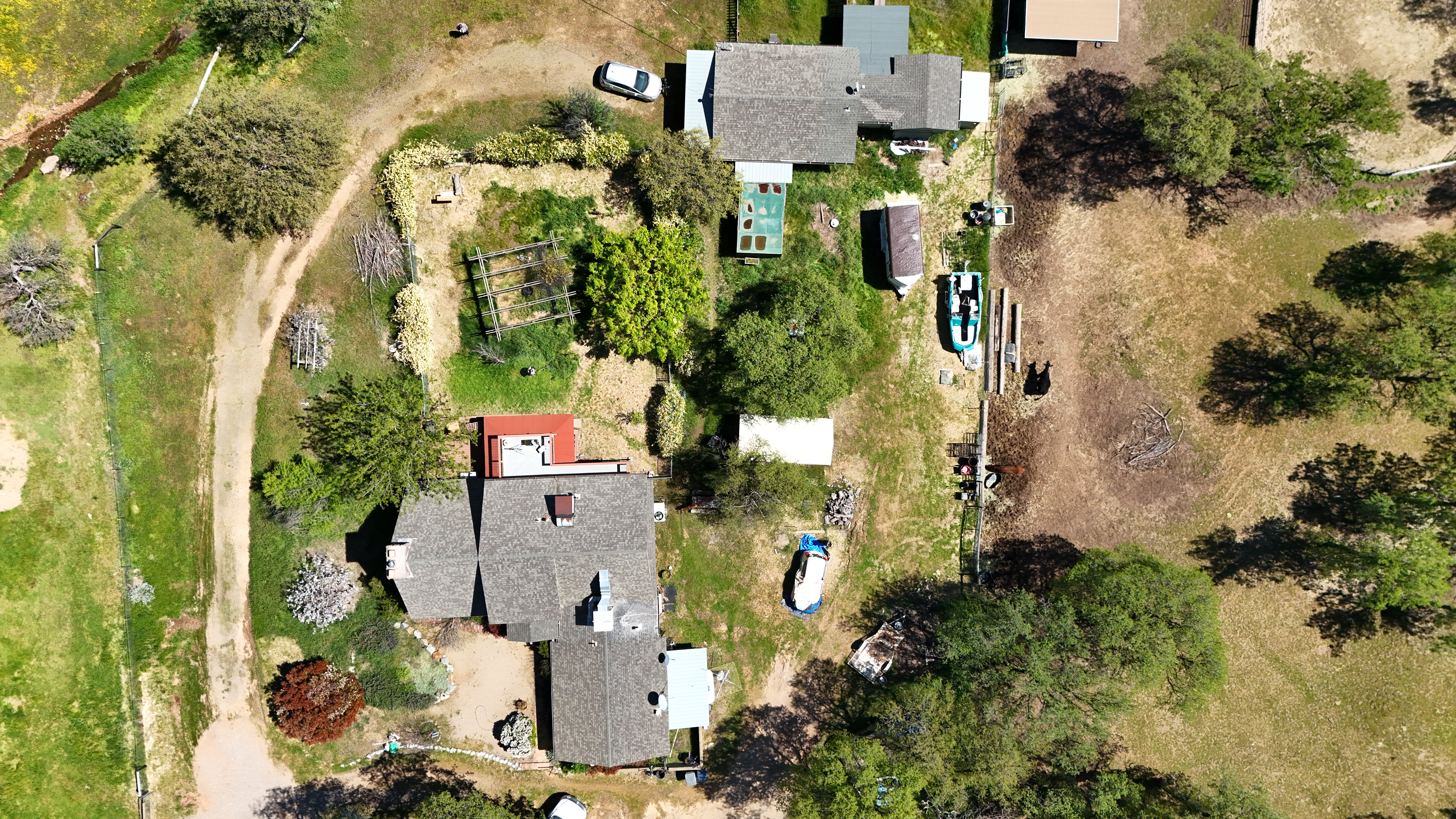
Mapping and Surveying
- Highly accurate 3D mapping for precise measurements.
- Detailed topographic mapping for land development projects.
- Vegetation and crop health analysis for optimized agriculture.
- Digital elevation modeling for infrastructure planning.
- Accurate contour mapping for construction site planning.
- Comprehensive land surveying for property development.
- Efficient volumetric measurements for stockpile management.
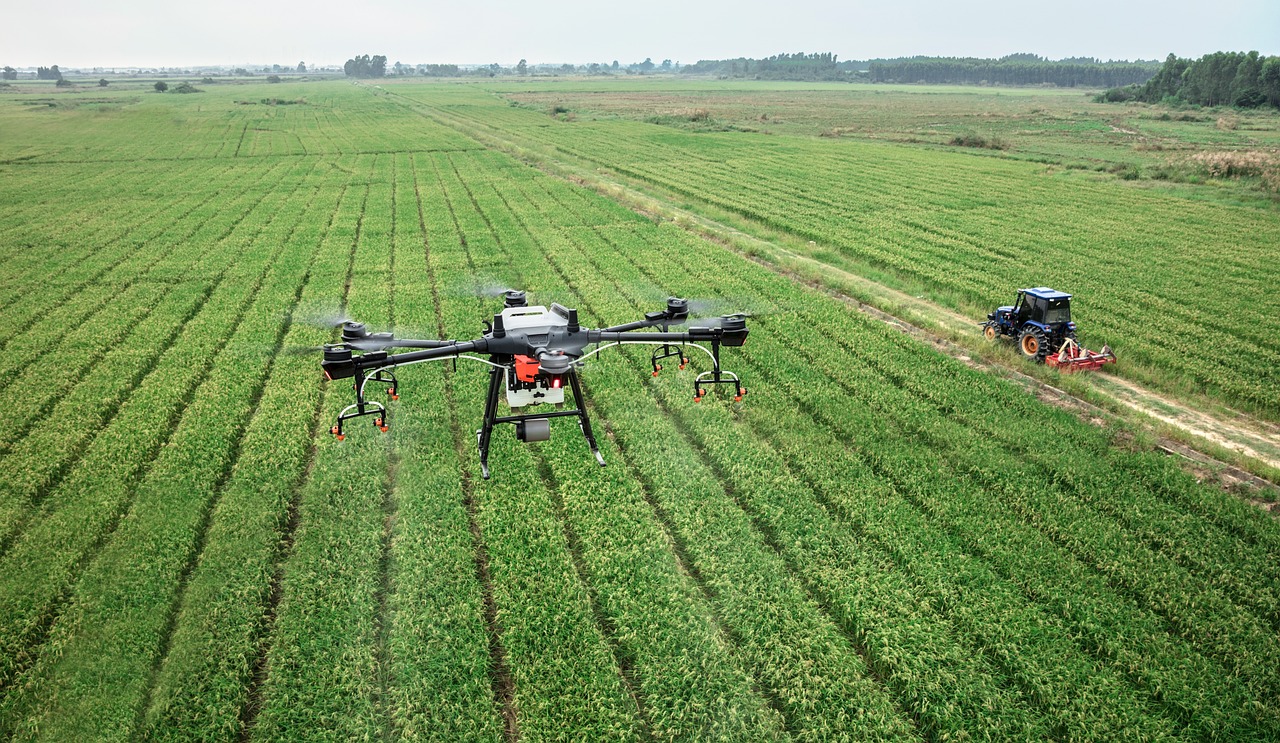
Crop Health Analysis
- Identifying crop stress for targeted treatment.
- Monitoring plant health and growth for optimized yield.
- Assessing irrigation effectiveness for water conservation.
- Detecting early signs of disease for proactive management.
- Analyzing nutrient levels to maximize crop productivity.
- Evaluating planting density for optimal crop distribution.
- Providing actionable insights for precision agriculture.

