Elevate Excellence

Our Journey to Aerial Mastery
At Kestrel Aerial Imaging, we have honed our expertise to perfection, capturing breathtaking views from above that defy expectations. Our passion for precision and innovation drives us to redefine whatʼs possible in drone photography, mapping, and imaging. We are committed to delivering unparalleled quality and reliable results for our clients in the utility, real estate, agriculture, and construction industries. With cutting-edge technology and a team of skilled professionals, we are dedicated to providing you with the aerial solutions you need to excel in your field.
Our Offerings
Discover Our Diverse Expertise

Aerial Mapping
Precision Cartography

Real Estate
Property Showcase

Agri Solutions
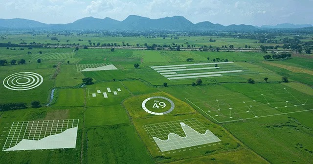
Precision agriculture means you save on spraying, manhours, water, pest control, fungus control and overall crop and herd management

Thermal Imaging
Thermal Imaging can give you the insight you’ve been missing in your property inspections, roof leak checks, solar array evaluation and more.
An Ideal Haven for
Thinking Differently.
Kestrel Aerial Imaging got its start and inspiration from more than 25 years in Operations and Operations management. As a contractor working with Lockheed Martin, I studied and received certification in Lean Six Sigma disciplines. My focus was on evaluating existing processes and procedures to remove waste and reduce risk and pain points. Later, working in the solar industry, it became necessary to bring those disciplines of Lean management into a tough and mercurial industry. Rooftop surveys, solar panel inspections and imaging for the design process were some of the most obvious areas that would benefit from drone operations. Opportunities to save money and schedule began to make themselves obvious with the use of drone imaging. After 2 years of research about what is possible with drones in process improvements, KAI was finally established in February of 2024
